
Going for Gold in Winter Olympic Curling
Batteries that Can Withstand the Cold
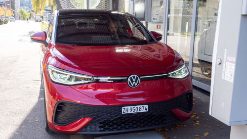
Fast Charging of Electric Cars Without Cables
Making Tungsten Carbide a More Viable Alternative
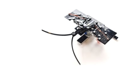
Meet ULIS: A Power Module with Unprecedented Efficiency, Power Density,...


Beyond AI-Copy-Paste Engineering: Advanced AI-Integration Success...
Battery Abuse Testing: Pushing to Failure
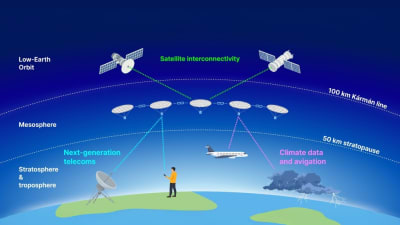
A FREE Two-Day Event Dedicated to Connected Mobility
Choosing the Right N-Port Strategy: Multiport VNAs vs. Switch...
2026 Battery & Electrification Summit (Online)
The Over-Engineering Trap: Aligning Custom Equipment Specs with...