
NASA runs and partners in many missions dedicated to monitoring the Earth, and the tools used in these missions continuously return data on everything from shifts in temperature, to cloud formation, to pollution levels over highways. The data are of great scientific value, but they also provide information that can play a critical role in decision-making during times of crisis. Real-time developments in weather, wind, ocean currents, and numerous other conditions can have a significant impact on the way disasters unfold.
Dave Jones, founder and CEO of StormCenter Communications, which consults with decision-makers to prepare for emergencies, said “When I talk to public authorities, they say, ‘If I had a nickel for every time someone told me they had a common operating platform, I’d be rich.’ But one thing we’ve seen over the years is that no one has been able to give end users the ability to ingest NASA data sets and merge them with their own.”
To make its real-time data more accessible for authorities, NASA issued a Research Opportunities in Space and Earth Sciences (ROSES) solicitation in 2008 looking for solutions to support preparation for disasters such as wildfires, earthquakes, landslides, and coastal hazards. At the time the solicitation was issued, Baltimore-based StormCenter had been working on its own real-time collaboration technologies, and it decided to write a proposal.
During the 4-year partnership, NASA has provided real-time environmental data and StormCenter has provided the technology to incorporate that data in a single platform and enable authorities to work together using that platform during emergencies. Scientists can improve models and provide better forecasts, but just as important is having the ability to distribute and communicate NASA’s satellite observations and findings to the public.

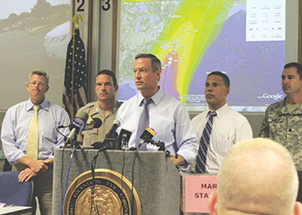
The primary tool StormCenter offers is the Envirocast Vision Collaboration Module (EVCM), which serves as the platform for merging NASA data with anything else public authorities need. EVCM uses a Google Earth interface, which has a small learning curve due to its familiarity, allowing end users to navigate the system efficiently even on short notice. The system allows people to participate from anywhere; for example, a high-ranking official can receive briefings and lead the geospatial collaboration session while traveling by plane, which gives them total situational awareness as soon as the wheels hit the ground.
Increased awareness has the potential to avoid significant costs and damages, bolster response efficiency and effectiveness, and ultimately save lives. The National Oceanic and Atmospheric Administration (NOAA) has included StormCenter in its preparations to launch the GOES R-Series of satellites to ensure that the data its spacecraft collect can easily be incorporated with EVCM’s collaboration technology. The National Weather Service (NWS) awarded StormCenter a contract to launch EVCM at its operational proving ground in Kansas City, with plans to possibly roll out the technology throughout the entire NWS.
Visit http://spinoff.nasa.gov/Spinoff2012/ps_5.html for the full story.